Canaipa Passage Channel Maintenance Dredging
Overview of Project
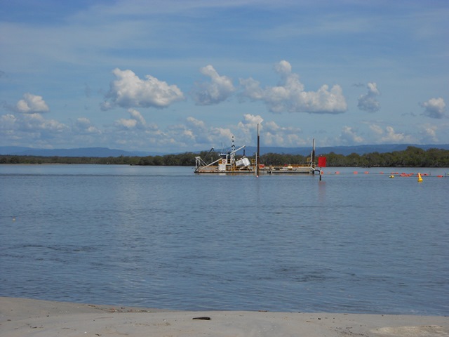
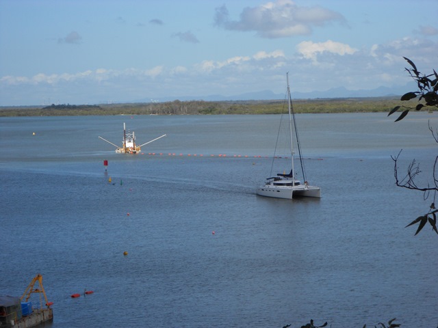
Canaipa Passage is a 13-kilometre secondary navigation channel between North Stradbroke Island and Russell Island in southern Moreton Bay.
The channel is heavily used by a variety of recreational and commercial vessels, particularly during school holidays, as the calm waters offer protection to yachties and anglers and campers making their way to and from the increasingly popular Slipping Sands.
Overview of Project
The Gold Coast Waterways Authority required a navigable depth of 2.5m below LAT (maximum depth of 2.8m below LAT) in the two regions, which amounted to the removal of 34,000 cubic metres of sand.
The southern dredge area involved the slight realignment of the crossover channel to align better with the natural seabed contours. As a result, almost 25,000 cubic metres were pumped from this area and transported only 500m to the nourishment area. On the other hand, the northern dredge area required the removal of 10,000 cubic metres of material, but this material had to be transported almost 2,000m to the nourishment.
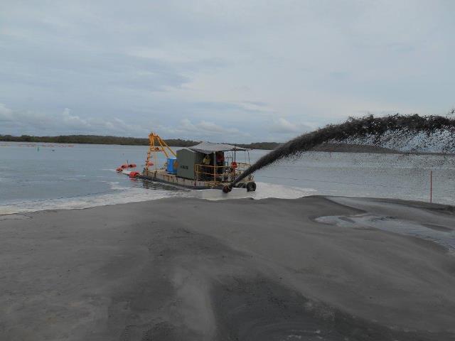
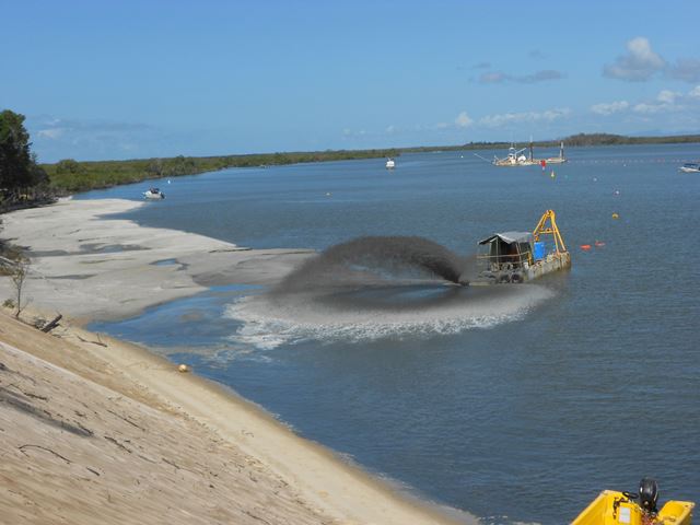
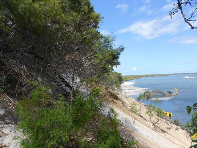
The dredged sand replenished the eroded areas of beaches at Slipping Sands. These included beaches near the fishing huts and along the shore at Slipping Sands on the western side of North Stradbroke Island.
Innovations
- Use of discharge barge to place material along the beach at slipping sands,
- Adaption of an anchor barge with a three-point anchoring system to manoeuvre the discharge pontoon along the beach at Slipping Sands.
Challenges
- Pumping the material up to 2,000m at a reduced production rate from the northern dredge area
- Spreading the material evenly along the beach at the nourishment
- Maintaining safe navigational access for all boating traffic in this very popular and busy recreational waterway.